Saint-Malo

Saitn Malo - Turret

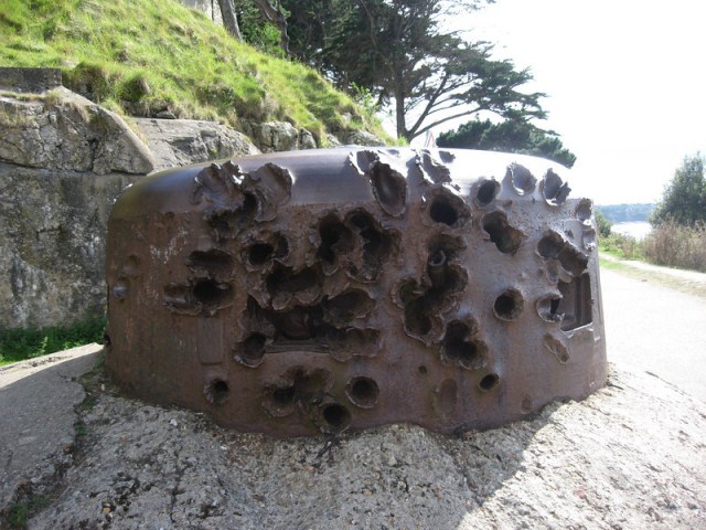
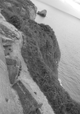
Grenade damaged turret

In the Second World War, Saint-Malo and Saint-Servan where part of the German defense and fortification system extending from Cancale (on the west coast of the bay of Mont Saint-Michel) to the mouth of the Fremur at Saint-Briac-stretched sur-Mer. The centerpiece of the defense system was the Cité d’Aleth peninsula. In addition, the main defense supports the small rocky island of Grand Be, more than 300 meters northwest of the Tour Bidouane, the approximately 3.5 km furthernorthwest island Cézembre and the Pointe de la Varde. After the landing of the Allies in Normandy on 6 June 1944, the old Saint-Malo Intra-Muros, or Ville Closealso said city, for more than 70% destroyed. It was rebuilt after the war, mostly in the original 18th century style.


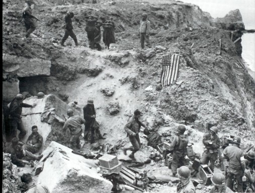
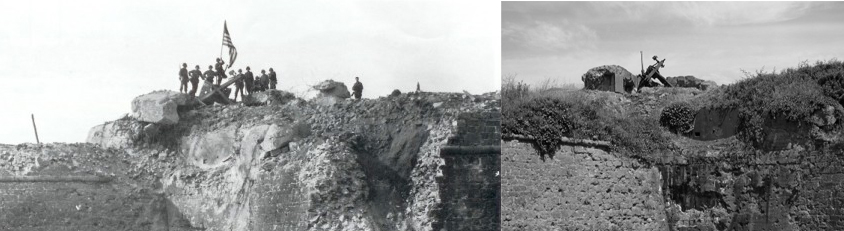
On August 6th the Germans demolished all the quays, locks, breakwaters and machinery in the harbour area in order to prevent a working harbour falling in to the hands of the approaching U.S. Army. The ancient city fortress had been heavily reinforced with concrete and and so the battle to take it was extremely difficult, and required heavy fighting to conquer these fortified German strongholds. The thick walls designed to withstand medieval siege proved effective against the modern artillery of the 83rd.

staint malo fortress

Saint Malo – Fortress

Read more

Port en Bessin

Port en Bessin - Tour Vabbin

Port en Bessin was the actual linkup point between the American and British forces on June 7, 1944. The American 16th Infantry Regiment had landed on the Easy Red Sector on Omaha Beach and fought its way along the coastal towns to link up with the 47th Royal Marine Commandos, which had struggled its way from Gold Beach. 

The Royal Marines fought a difficult battle to take the town and its eastern and western fortifications. The Royal Marines finally took the town after fighting house-to-house and knocking out the harbour defenses, which included pillboxes and a flak boat of the German Navy. The 16th Infantry Regiment took the part of town called Huppain and liberated the area now known as the Omaha Beach Golf Club.

Port en Bessin Jarbor
Read more

Rouen

Rouen sky

On 30 May 1944, the city was heavily bombed. The cathedral again (in 1940 it already suffered fire damage) fell prey to the flames and architectural damage was considerable. The inhabitants tried throughout the night to extinguish the fire. The cathedral could be saved but the Saint-Maclou (church) was in ashes. After the landing of the Allies, the German troops were still in the city. The bridges over the Seine were blown up and they could not leave.

Rouen Court House

On 30 August the Germans were the Canadians finally expelled from the city, for their retreat, they crossed the harbor installations still on fire. The toll was high after the war, more than 3,000 people were killed and 10,000 houses were in ashes.

Read more

Point du Hoc

Point du Hoc mapAt Pointe du Hoc (often spelled as its Parisian French name “Pointe du Hoe” in official Army documents), the Germans had built, as part of the Atlantic Wall, six casemates to house a battery of captured French 155mm guns. With Pointe Du Hoc situated between Utah Beach to the west and Omaha Beach to the east, these guns threatened Allied landings on both beaches, risking heavy casualties in the landing forces.

Although there were several bombardments from the air and by naval guns, intelligence reports assumed that the fortifications were too strong, and would also require attack by ground forces. The U.S. 2nd Ranger Battalion was therefore given the task of destroying the strongpoint early on D-Day.

Point du Hoc 1944
Point du Hoc 1944
Point du Hoc 2015
Point du Hoc 2015
1 2