Arromanches-les-Bains
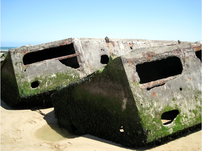
Mulberry
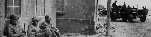
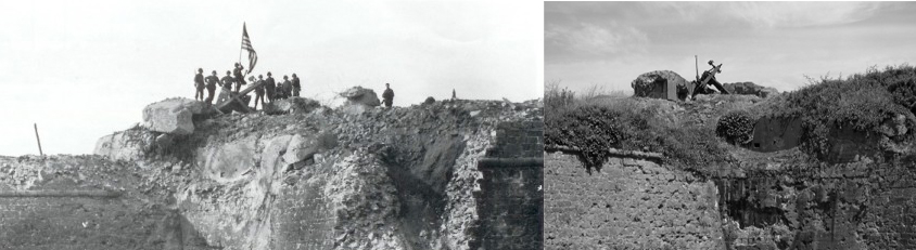
On Gold Beach in Normandy, the situation of Arromanches-les-Bains was particular : the beach was embedded between two twenty meters height cliffs, where the defences had been built by the Germans. At 7:30 a. m, on 6 June 1944, the British troops – the 1st Hampshire and the 1st Dorset – landed eastward from Arromanches, in Le Hamel, without artillery support.
In this area the fortifications of the beach were built up with two strong points : the WN 36 and the WN 37. In a short time the 1st Hampshire lost three commander-in-chief facing WN 37. The breakthrough was achieved in the afternoon with the landing of tanks and reinforcements. Vehicles and infantry quickly moved inland. A company of New-Hampshire liberated Saint-Côme-de-Fresné, after heavy shelling of open sea anchored battleships. The British entered in Arromanches-les-Bains in the evening around 9:00 p. m.
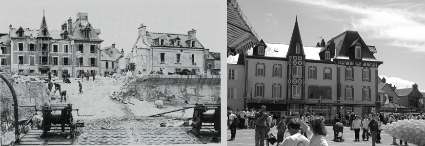
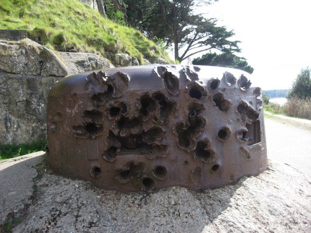
Arromanches beach front. Click to enlarge